On the Map Cartographic
Images of the Holy Land
-
 December 1 2008 - March 22 2009
 Curator(s): Orna Granot
-

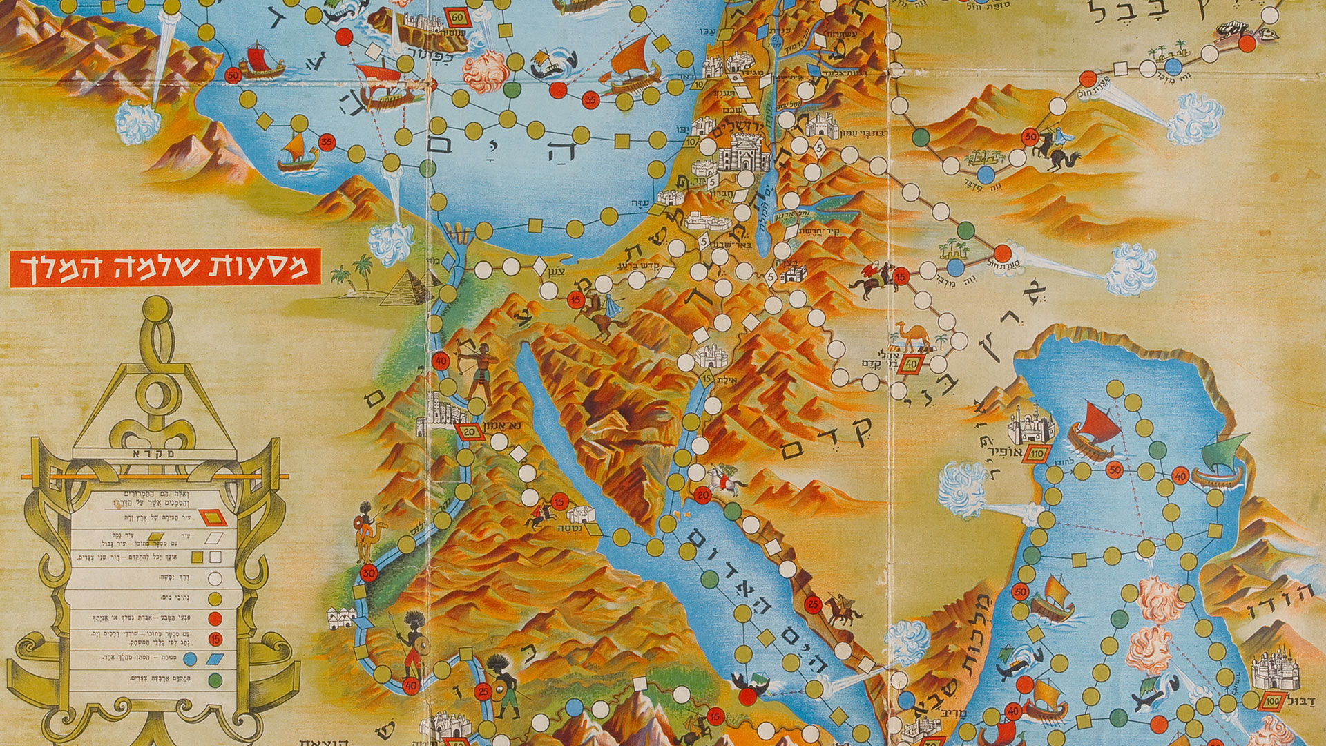
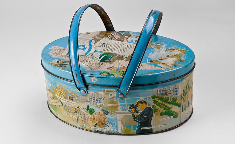
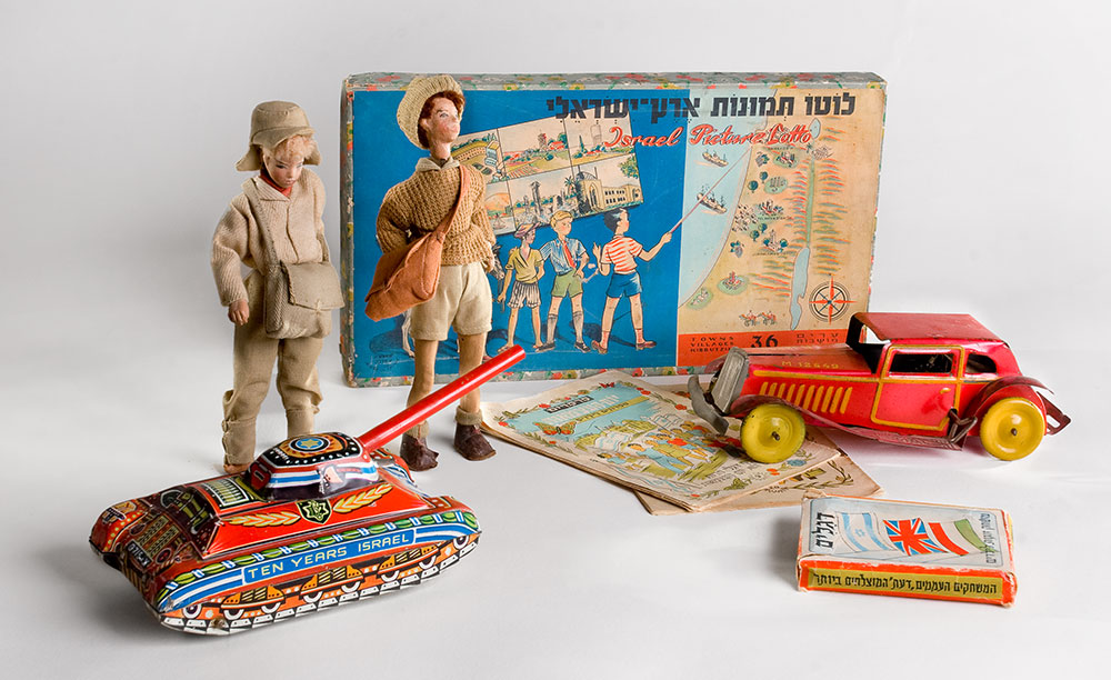
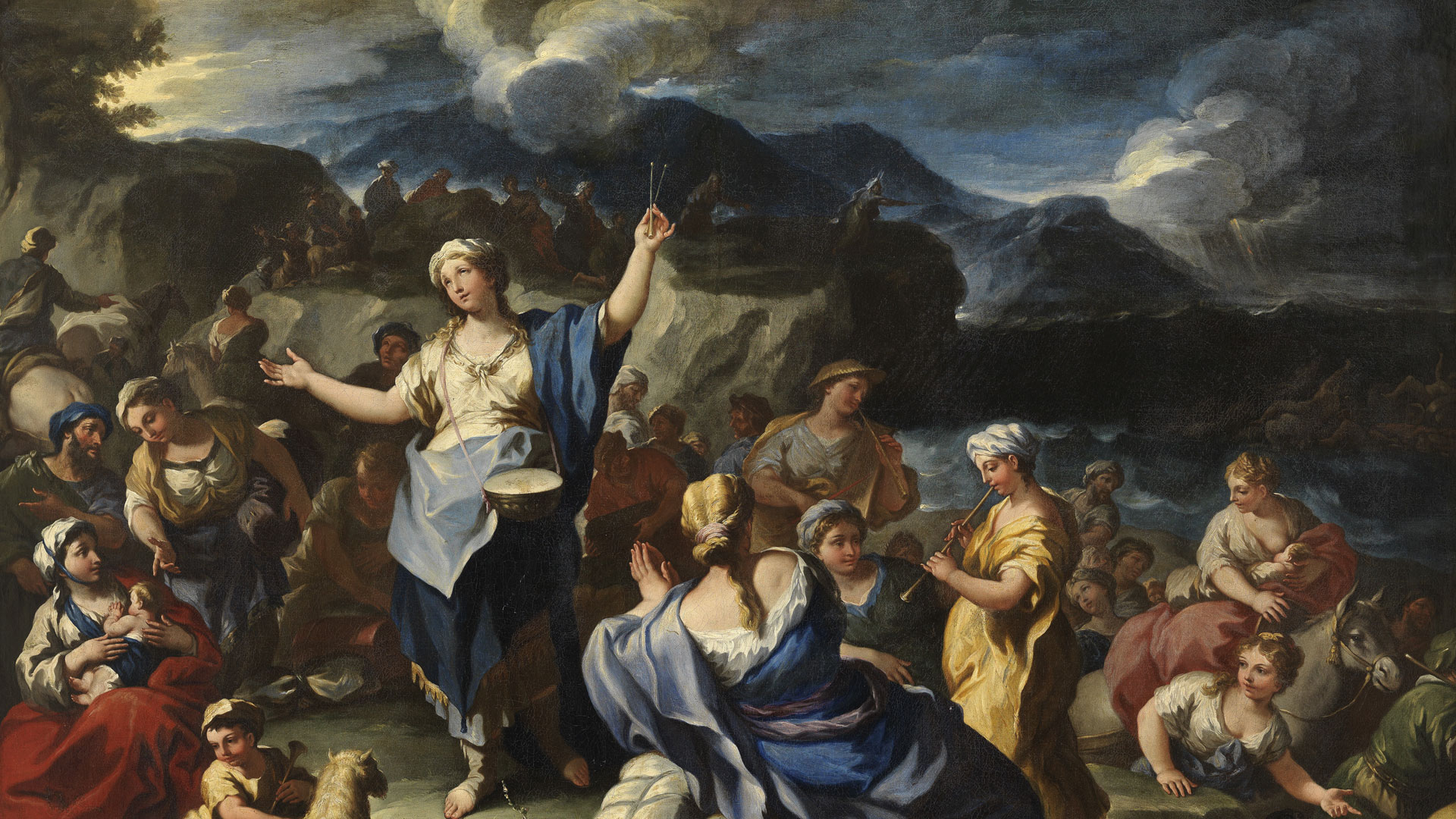
Objects decorated with the map of Israel, such as a pencil-case, a package of cookies, and the blue box of the Jewish National Fund, were displayed here together. The map which adorned these items and the rest of the pieces in this exhibition was not geographic or topographic; it was an artistic representation and a cultural emblem. While the borders of the maps reflected the historical time in which they were drawn, changing borders were not the focus of this exhibition. The items presented here reflected shifting tastes and passing trends with one objective: to increase familiarity with the land and to strengthen love of the land in experiential, educational, and aesthetic ways.

MORE EXHIBITIONS


More Events
 May 01
 May 01
- Apr 26May 02May 03May 09May 10May 16May 17May 23May 24May 30May 31
 May 03May 10May 17May 24May 31
 Apr 21Apr 24Apr 28May 05May 08May 12May 15May 19May 22May 26May 29
 Apr 21Apr 28May 05May 12May 19May 26
 Apr 21Apr 24Apr 28May 05May 08May 12May 15May 19May 22May 26May 29
 Apr 22May 06
 May 06May 27
 May 06
 May 06
 May 06Jun 10
- May 08May 15May 15May 22May 29
- May 08May 15May 22May 29
- May 08May 15May 22May 29
 May 08
- Apr 24May 08May 15May 22May 29